Summit Drilling, a leading drilling contractor announced the acquisition of TPI Environmental. Summit provides a wide range of drilling services to the environmental, engineering/construction, utility infrastructure and aggregate mining industries.
“We are very excited about TPI and increasing our ability to more effectively service customers in a quicker manner,” states Ron Bucca, President & CEO of Summit Drilling. “Geographic expansion is a big part of our growth strategy. Through this acquisition, we are not only expanding our services footprint, but we are also adding services that are natural extensions of our drilling technologies. For example, Mr. Bucca continues, the geophysics team and drillers at TPI are subject matter experts. This enables us to internalize the service and support customers with valuable approach recommendations. The team, services, and organizational culture at TPI are a great fit for us. Together, we are a stronger and more valuable contractor for customers in this region,” concludes Mr. Bucca.
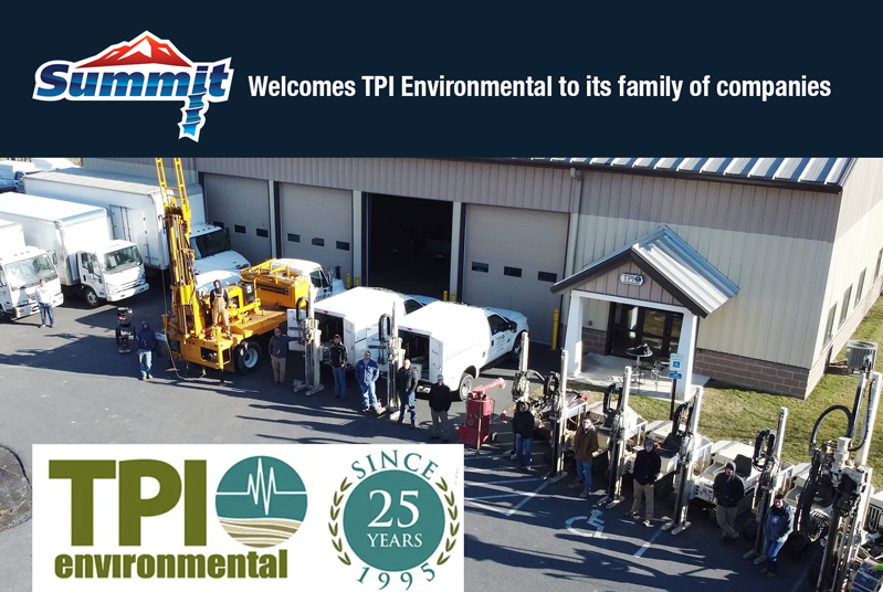
TPI Environmental of Easton, PA., provides drilling, utility locating geophysics and remedial injection services to similar industries for over 25-years. Their large fleet of GeoProbes® and remedial injection capabilities will bolster and compliment Summit’s current services, while adding geophysics, such as ground penetrating radar, line locating and magnifying electron microscopes (EM) to Summit’s list of internal capabilities.
“Joining the Summit family of companies is a great opportunity for us and for our customers,” states Frank Fendler, President of TPI Environmental. “We have built a great reputation here and can now offer more value through Summit’s extensive drilling technology and talented field teams. Their drilling technology, such as sonic, enables us to deliver a broader range of capability to customers while creating new career growth opportunities for our people. The future looks very bright,” concludes Mr. Fendler.
The acquisition was managed by Brass Ring Capitol of Minnesota. According to William Grindell, Brass Ring Capitol’s managing director, the synergies between both companies are ideal, well aligned, and directionally consistent with Summit’s growth strategy.


